 Drones & geospatial
Object detection and georeferencing in aerial imagery
- Problem
- A client needed an inventory of assets spread across many square kilometres, and manual counting from imagery was too slow to repeat.
- What we built
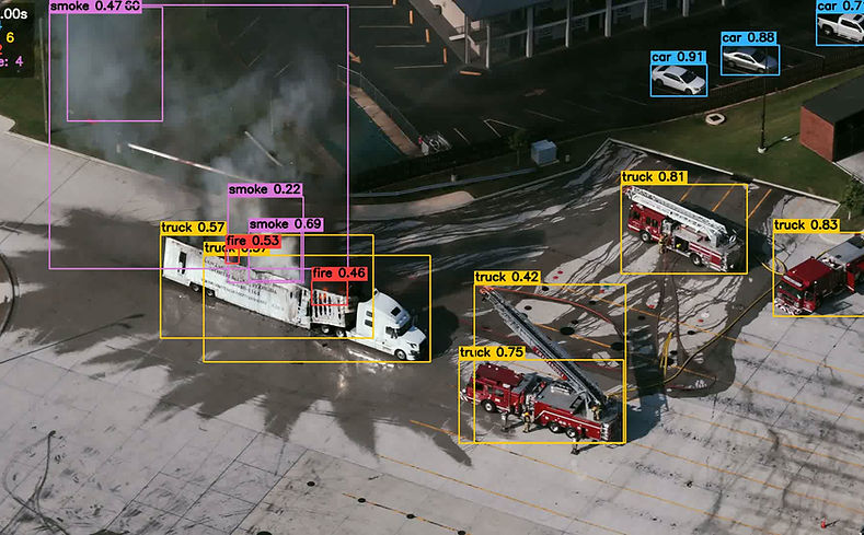
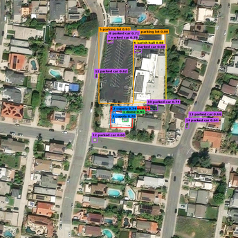
- A detection pipeline for high-resolution drone and satellite imagery that converts every detection from pixels into latitude/longitude with real-world dimensions.